Hema 7 Page 26-27
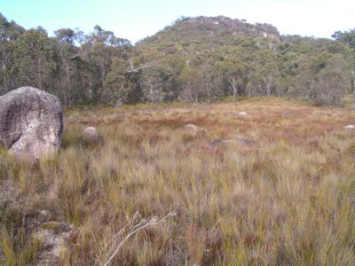
This is not far from Native Dog Campsite in Cathedral Rock National Park. Classic granite tors with Eucalypts and other Oz vegetation.
Very difficult to choose the photos, we saw our first flock of black cockatoos and occasional kangaroos. Heaps of small birds which appear as pinheads in photos.
It also meant we had to test the heater... it worked. Ali thinks its better than a tent.
Despite lagging all the water pipes there was bound to be a bit that was missed. The inlet to the grey water tank. Thus, the sink didn't drain in the morning. A bit of insulation held with cable ties was duly added once the day warmed up.
Just a very small sense of part of a rural community.
The basalt is from a series of shield volcanoes along the dividing range. Older to the North, younger to the South. As the continent moved North over a hot spot it pushed magma to the surface.
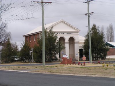
When we reached Uralla we found its on the tourist route - because of the ivy so not much on its history.
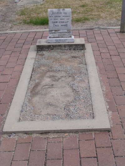
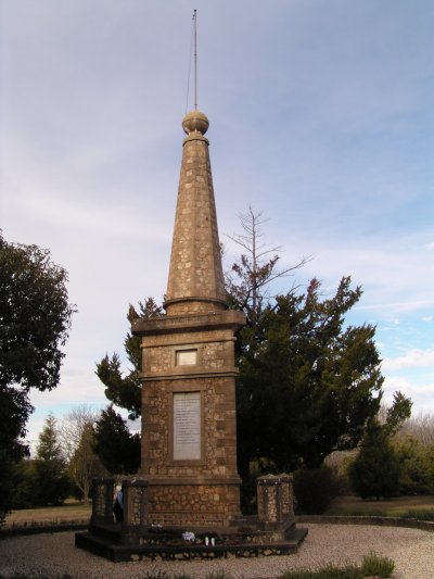
Thunderbolt was a highwayman / bushranger. We find it a bit odd but Aus seems to celebrate the lives (or perhaps the deaths) of villains like Thunderbolt and Ned Kelly.
There's a statue of Thunderbolt in the main street of Uralla. The ground floor of the museum (a former mill and interesting building) is dedicated to Thunderbolt - though the collection of paintings describing his death does pay some tribute to the constables that caught him.
Since we couldn't reconcile why a whole town seemed to have had nothing else of significance happen in its history we had fish and chips for tea (the Chinese takeaway was closed).
The Chinese influence seems to have long gone.
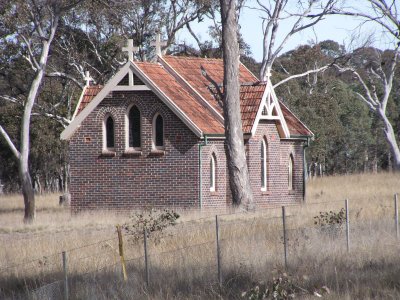
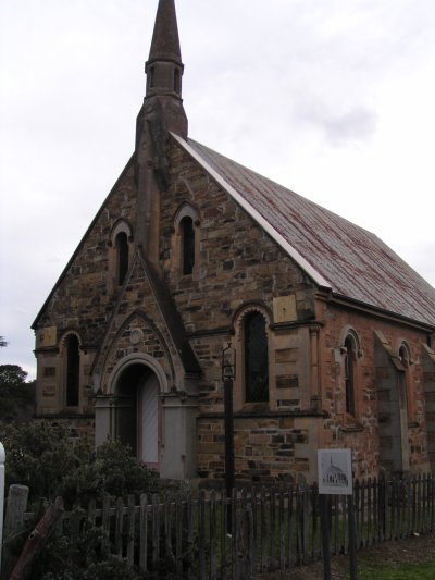
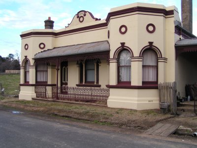
The significant buildings were the courthouse, post office, etc. In lots of Aus towns these symbols of state authority are the buildings that survive. The other buildings to survive are churches and hotels (pubs).
We stayed in Uralla for 3 nights. Just felt we'd been travelling a bit fast and needed a rest. It was also a bit cold and rainy so it took time for the washing to dry.
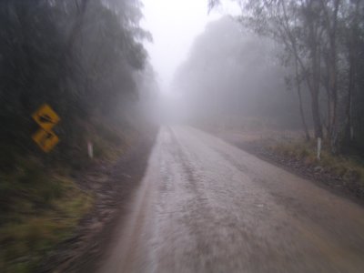
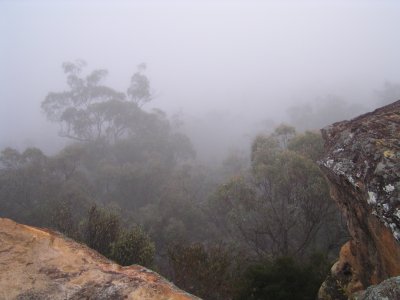
Even through the mist there's a beauty as we climbed higher.
We seem to be taking every opportunity in National Parks to walk. Something we both enjoy. We are slowly becoming fitter, stronger, (and healthier) after a relatively sedentary city life for too many years. We'd hoped this would happen, really part of the change in lifestyle. So far so good.
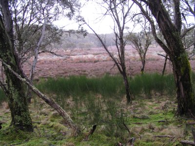
Difficult to capture through the camera the purples, greys, blue-greens and browns contrasting with lush green were fascinating.
Lees Pinch lookout in Goulbourn River National Park provided more granite and a campsite when we couldn't find the real one.
The mine has been well studied by geology and mining engineering students, there are fascinating 3D maps in the museum (old hospital).
The town is now managed by National Parks. A large collection of photos of Hill End was found in Sydney. The photos and descriptions have been reproduced as plaques in front of each building. Provides a fascinating walk through the streets.
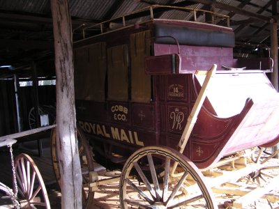
Cobb & Co provided an extensive network of coach routes through Aus.
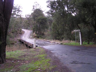
The bridge is typical of single lane bridges before concrete. Substantial (~450mm) logs between the uprights, then logs across, then slats along. Cleverly designed for cycle wheels to fall through the cracks. The large nails holding the slats down can work loose. All helps to produce interesting noises when vehicles cross. Sometimes the slats are crosswise.
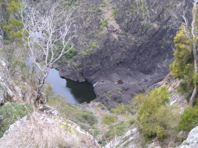
No-one else there, though it looks popular in Summer for swimming.
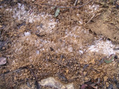
From the number of holes in the ground we should have seen wombats, alas, they must have been sleeping.